
Snøhetta (the Snow Cap) is the highest mountain on Dovrefjell – a mountain region southwest of Trondheim and northwest of Lillehammer. Dovrefjell is known for its beautiful nature, its wildlife (a. o. reindeer and musk), and the (former) weapon range and training area.

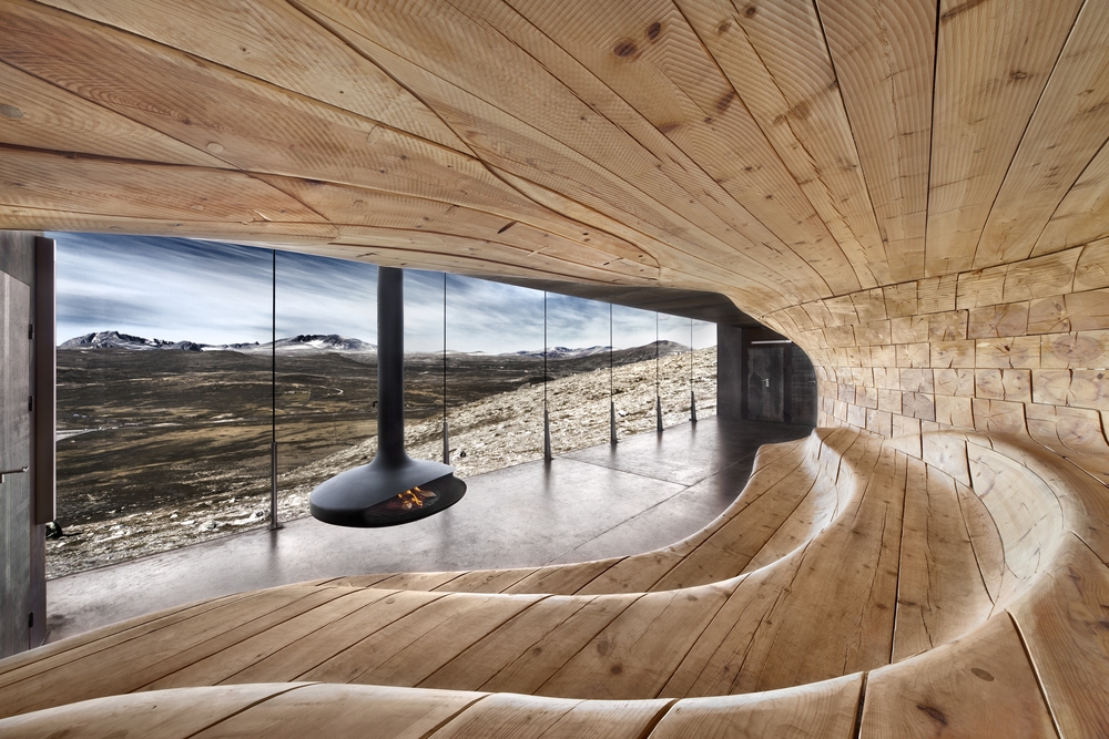
Loceted just below Snøhetta, Reinheim Turisthytte was built by The Norwegian Trekking Association (DNT) in 1952. In 1959 the Army took it over related to the development of the Hjerkinn shooting field. The lodge then changed name to Snøheim (Home of Snow). In the autumn of 2007 DNT Oslo it was given back to DNT, and today Snøheim is a DNT lodge with 80 bunks, in rooms with two and four bunks.

Snøheim is open between June 27th and October 9th 2016.
The lodge is easlily accessible with train to Hjerkinn, and a shuttlebus to Snøheim from there.

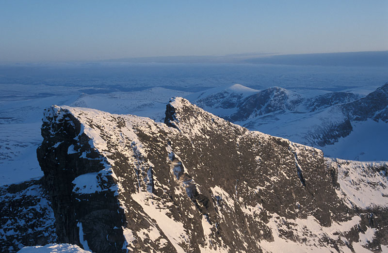
The Snøhetta massif has 4 distinct tops – Stortoppen, Midttoppen, Hettpiggen and Vesttoppen. All of these tops exceed 2000m, and Stortoppen is the highest Norwegian mainland mountain outside the Jotunheimen/Sognefjellet mountain range.
Of these 4 tops – it is only Hettpiggen that isn’t easily reached, and requires exposed scrambling or climbing in order to reach the top. The Snøhetta traverse is a “classic” – in summer as well as in winter. Close to Snøhetta, you will also find a handful of other tops exceeding “the magic” 2000m elevation. Larstinden, Svånåtinden and Skredahøin are the main ones – including a number of satellite tops that also exceed 2000m.
The normal starting point for Snøhetta is Snøheim. Snøhetta is only a 7km walk from the Snøheim parking, while the route from Kongsvollen Fjellstue by E6 (via Reinheim) is more than 20km.

DNT’s recommended hiking trails
Suggested route: Snøheim – Snøhetta (summer/autumn)
| Difficulty : | YDS Class 2 |
| Exposure : | No |
| Distance : | Approx. 7km to Stortoppen (2D distance) |
| Time : | Approx. 3-4 hours to Stortoppen |
| Starting Elev.: | Approx. 1450m |
| Vertical Gain : | Approx. 840m |
Access
(all distances are approx. distances)
The nearest bigger villages are Oppdal (north of Dovrefjell) and Dombås (south of). The starting point for the Snøheim road is by the E6/RV29 (Folldal) junction at Hjerkinn. Close to this junction, get on the road west towards the train station, but after just 30m, turn right and follow a road up to the Snøheim signpost. You can also reach this road from two other unmarked junctions along E6.

From this signpost, follow the Snøheim road 12,3km to the public parking.

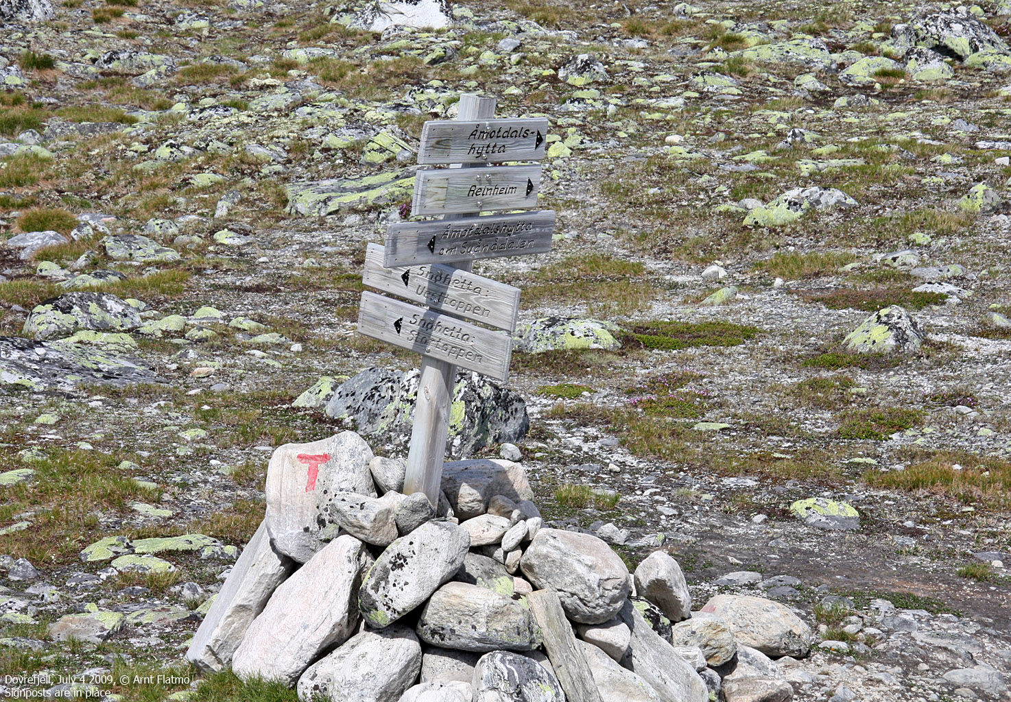
From the parking, follow the road to Snøheim (1,2km). At the first signpost, you can make a right turn and head towards Snøhetta on the east side of the lake. After rain and snowmelt, the river draining into this lake is wide, and you will have to look for a place to cross. It is therefore easier to follow the marked path on the west side of the lake.

Both these trails meet at approx. 1500m, and run towards the Gamle Reinheim cabin. You will have to cross the drain from Lake Istjørni, and if there is too much water in the river, seek towards the lake (go left) to find an easier place to cross.

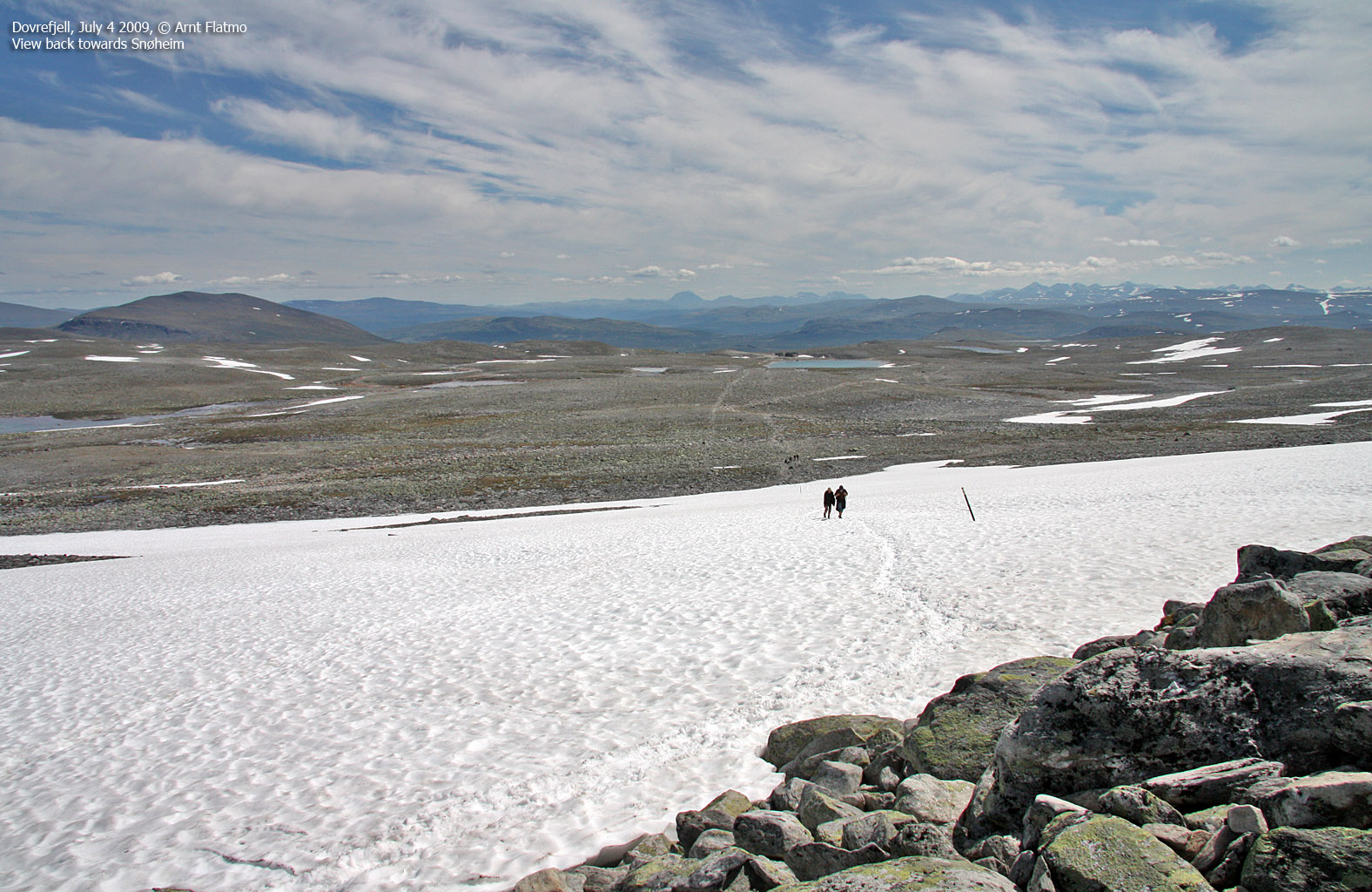
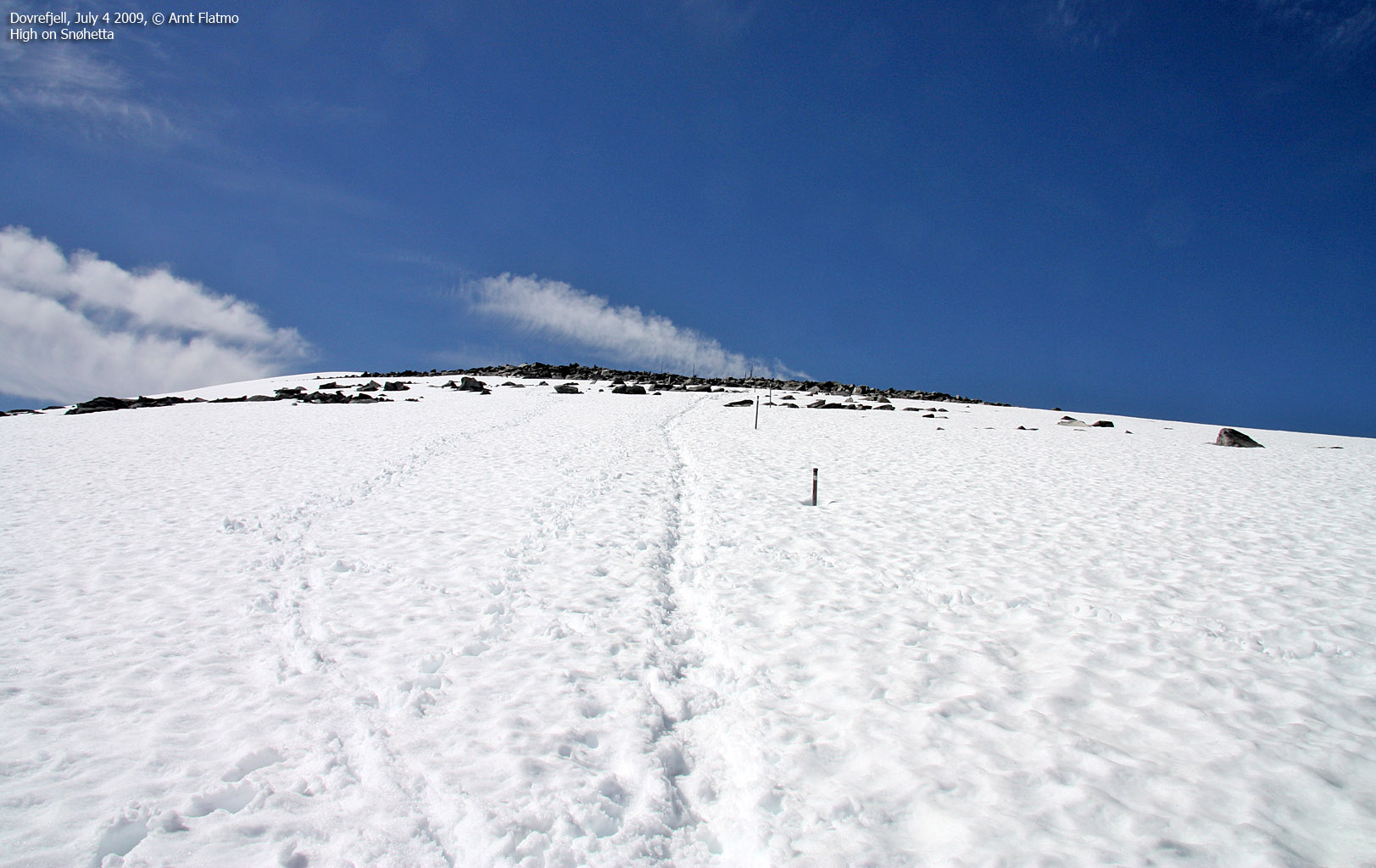
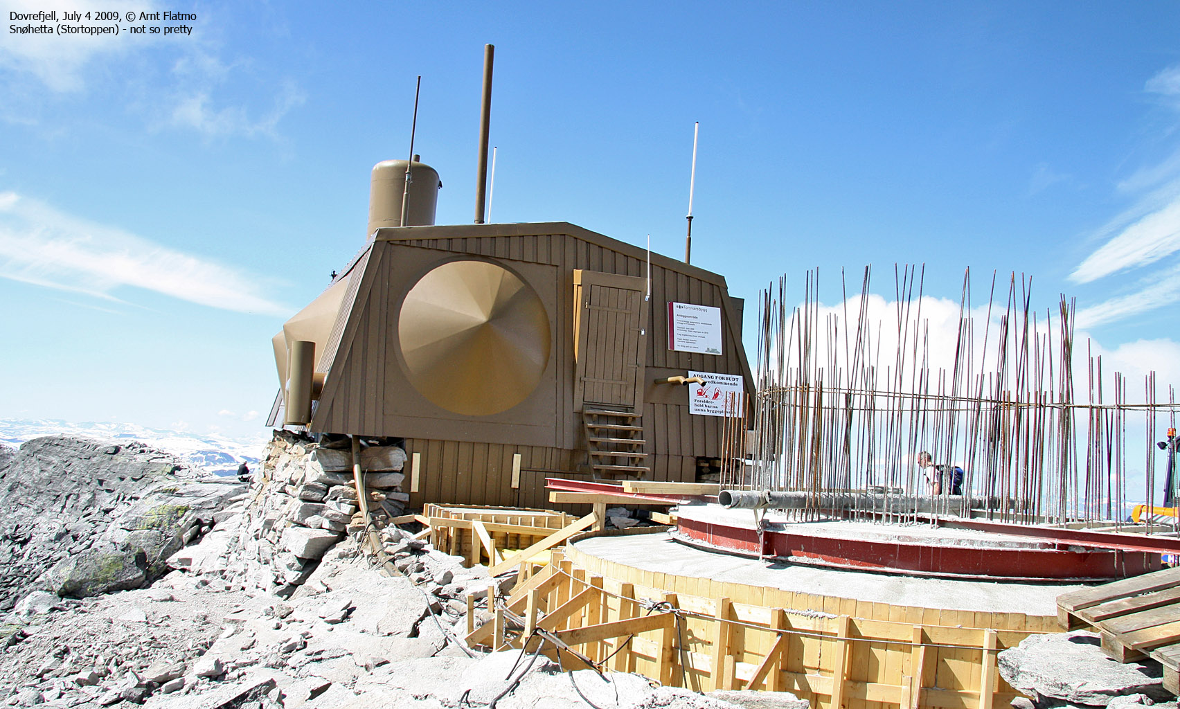
From Gamle Reinheim, follow the marked trail up the mountain and along Snøhetta’s west ridge. The ridge is fairly easy to walk. Expect some snow fields near the top. Snøhetta summit is “dominated” by a military building. You will find a proper cairn on the east side of this building.

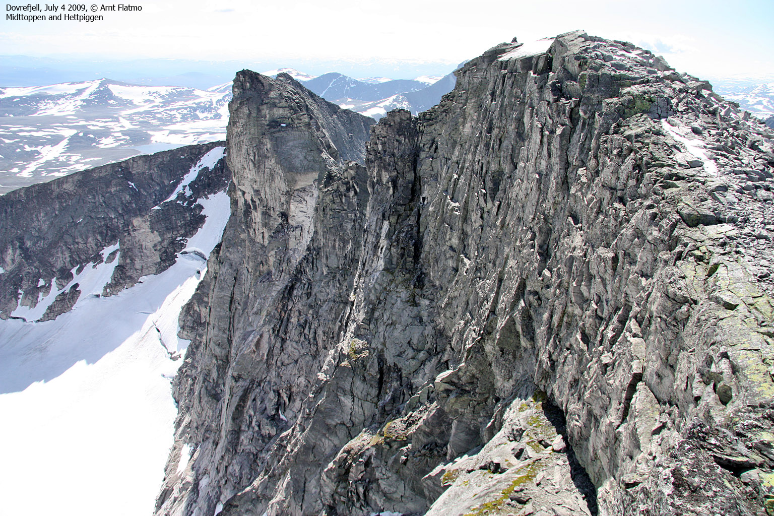
Midttoppen
If you want to include Midttoppen on your hike, continue 400m along the ridge, then descend (along the “T” trail) into the col between Midttoppen and Stortoppen. Continue directly up to Midttoppen – or even 200m further, until you get to a viewpoint cairn, with a better view towards the other tops in this region.
Norwegian Mountain Hikes, compiled by Admin